Introduction to territory design
ODL Studio is open source software for territory design. The concept of a territory is used in various areas – for example:
- A company might have sales territories defining which sales person covers which area.
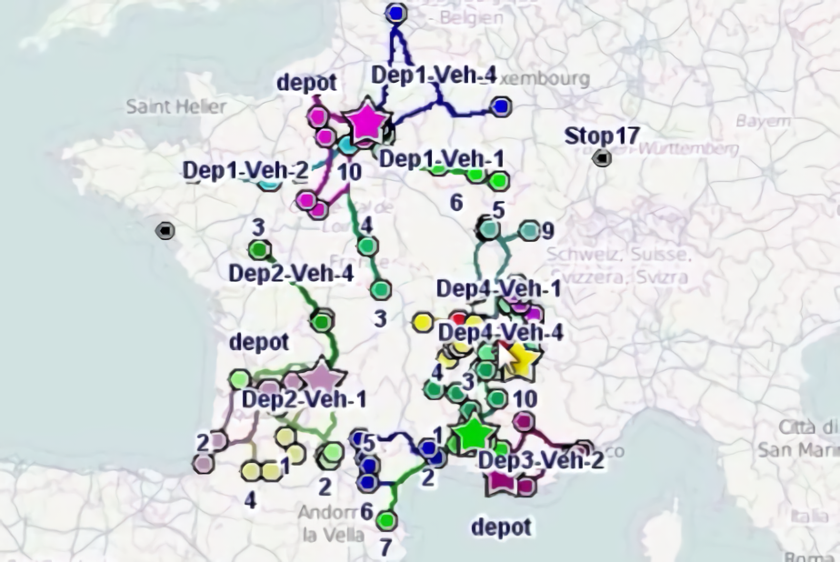
- A freight distribution network might assign a territory or delivery zone to individual depots.
- A territory could be a political boundary used for elections.
Typically territories are not permanently fixed; they need to be periodically adjusted or aligned to keep them optimised, e.g. to ensure workload is balanced evenly across them. Territory redesign is sometimes called redistricting, after the process of adjusting electoral boundaries in the US.
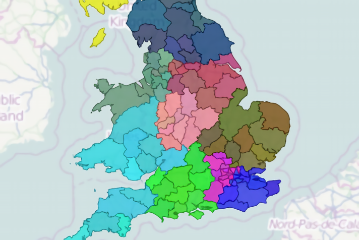
Territories are usually formed of polygon building blocks; for example Wales in the United Kingdom contains the UK postcode area building blocks LL, SY, LD, SA, CF and NP. If you wanted to define two sales territories within Wales – let’s say territory A and B – you could assign areas LL and SY to territory A and then assign LD, SA, CF and NP to territory B.
ODL Studio lets you import territory building blocks from ESRI shapefiles, use these to manually or automatically design territories and then export detailed territory map reports. Shapefiles are a popular format for geographic data and shapefiles for many different building block types and countries are freely available on the web, from sites such as:
We also provide free reconstructed polygons for UK postcode sectors, districts and areas.